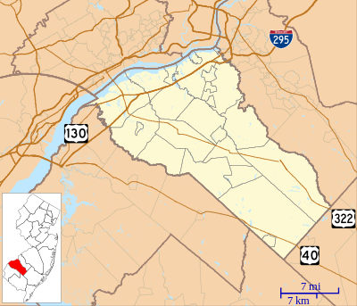
الگو:Location map USA New Jersey Gloucester County
| نام | Gloucester County, New Jersey | |||
|---|---|---|---|---|
| مختصات مرزها | ||||
| 39.96841 | ||||
| -75.62458 | →↕← | -74.81833 | ||
| 39.43398 | ||||
| وسط نقشه | ۳۹°۴۲′۰۴″شمالی ۷۵°۱۳′۱۷″غربی / ۳۹٫۷۰۱۱۹۵°شمالی ۷۵٫۲۲۱۴۵۵°غربی | |||
| تصویر | Location map of Gloucester County, New Jersey.svg
| |||

| ||||
