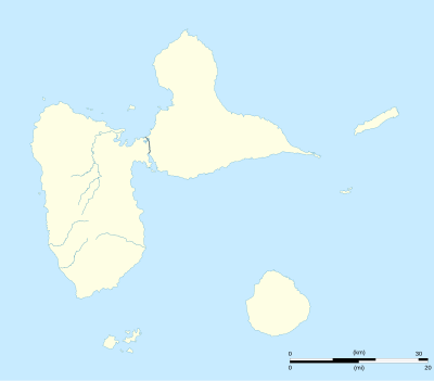
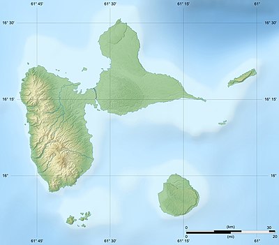
الگو:Location map Guadeloupe
| نام | جزیره گوادلوپ | |||
|---|---|---|---|---|
| مختصات مرزها | ||||
| 16.575 | ||||
| -61.875 | →↕← | -60.925 | ||
| 15.775 | ||||
| وسط نقشه | ۱۶°۱۰′۳۰″شمالی ۶۱°۲۴′۰۰″غربی / ۱۶٫۱۷۵°شمالی ۶۱٫۴°غربی | |||
| تصویر | Guadeloupe department location map.svg
| |||

| ||||
The AlternativeMap parameter in Template:Location map can be used to display the following alternative map image:

