
پرونده:Port-Au-Prince and Carrefour map.png
اندازهٔ این پیشنمایش: ۸۰۰ × ۴۶۲ پیکسل. کیفیتهای دیگر: ۳۲۰ × ۱۸۵ پیکسل | ۶۴۰ × ۳۷۰ پیکسل | ۸۴۸ × ۴۹۰ پیکسل.
پروندهٔ اصلی (۸۴۸ × ۴۹۰ پیکسل، اندازهٔ پرونده: ۱۹۷ کیلوبایت، نوع MIME پرونده: image/png)
این پرونده در ویکیانبار موجود است. محتویات صفحهٔ توصیف آن در زیر نمایش داده میشود. |
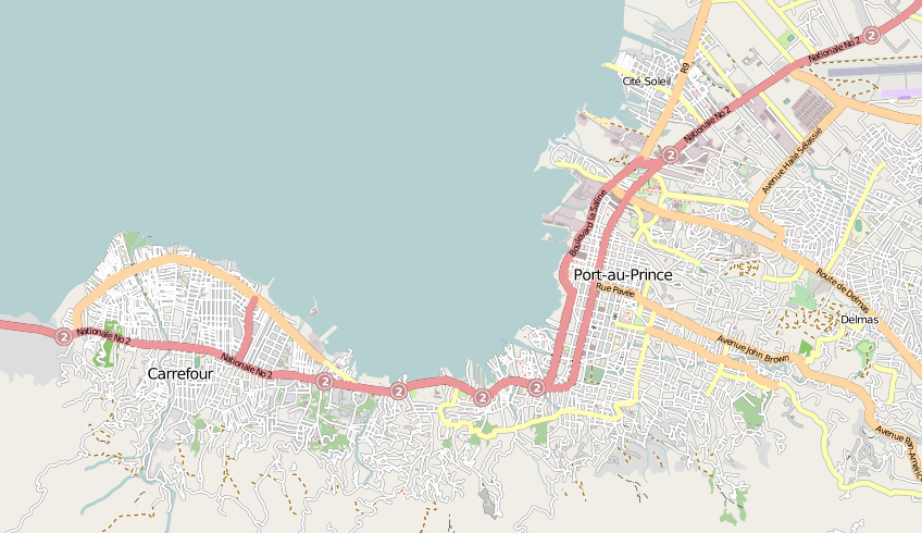
| توضیح | Map of Port-Au-Prince and Carrefour in Haiti |
| تاریخ | |
| منبع | openstreetmap.org |
| پدیدآور | Collaboratively created by the OpenStreetMap community using only free map sources and manual GPS surveying to build the map from scratch. In this particular case special access to DigitalGlobe and GeoEye aerial imagery was granted to the OpenStreetMap project, and was used to enhance the detail in this map. |
| اجازهنامه (استفادهٔ مجدد از این پرونده) |
این پرونده با اجازهنامهٔ کریتیو کامانز Attribution-Share Alike 2.0 عمومی منتشر شده است.
|
| دیگر نسخهها | The 'live' version of this map is available at http://www.openstreetmap.org/?lat=18.5456&lon=-72.3526&zoom=13 With the usual facility to zoom in for more details. You can also use the 'export' tab to get a fresh export in a variety of formats. This includes SVG, although a map of this size will generally be too complex to export (or work with) to this format. '.osm' format is the underlying geolocated data. Use the 'edit' tab on OpenStreetMap's website to edit the map. |
تاریخچهٔ پرونده
روی تاریخ/زمانها کلیک کنید تا نسخهٔ مربوط به آن هنگام را ببینید.
| تاریخ/زمان | بندانگشتی | ابعاد | کاربر | توضیح | |
|---|---|---|---|---|---|
| کنونی | ۱۵ ژانویهٔ ۲۰۱۰، ساعت ۱۴:۲۶ | | ۸۴۸ در ۴۹۰ (۱۹۷ کیلوبایت) | Harry Wood | {{Information |Description=Map of Port-Au-Prince and Carrefour in Haiti |Source=[http://openstreetmap.org openstreetmap.org] |Date=2009-10-28 |Author=Collaboratively created by the OpenStreetMap community using only free map sources and manual GPS surveyi |
کاربرد پرونده
صفحهٔ زیر از این تصویر استفاده میکند:
کاربرد سراسری پرونده
ویکیهای دیگر زیر از این پرونده استفاده میکنند:
- کاربرد در azb.wikipedia.org
- کاربرد در en.wikipedia.org
- کاربرد در en.wikinews.org
- کاربرد در fr.wikinews.org
- کاربرد در pl.wikipedia.org
- کاربرد در pt.wikipedia.org
- کاربرد در vi.wikipedia.org