
پرونده:Pike Nat Forest vicinity map.jpg
تفکیکپذیری بالاتری در دسترس نیست.
Pike_Nat_Forest_vicinity_map.jpg (۵۰۷ × ۴۳۰ پیکسل، اندازهٔ پرونده: ۱۰۲ کیلوبایت، نوع MIME پرونده: image/jpeg)
این پرونده در ویکیانبار موجود است. محتویات صفحهٔ توصیف آن در زیر نمایش داده میشود. |
خلاصه
| توضیح |
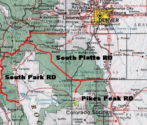
English: Map of Pike National Forest (green areas).
|
| تاریخ | تاریخ نامعلوم |
| منبع | http://www.fs.fed.us/r2/psicc/maps/pike_vicinity.jpg |
| پدیدآور | USDA |
اجازهنامه
This image is a work of the Forest Service of the United States Department of Agriculture. As a work of the U.S. federal government, the image is in the public domain.
|
تاریخچهٔ پرونده
روی تاریخ/زمانها کلیک کنید تا نسخهٔ مربوط به آن هنگام را ببینید.
| تاریخ/زمان | بندانگشتی | ابعاد | کاربر | توضیح | |
|---|---|---|---|---|---|
| کنونی | ۲۳ ژوئیهٔ ۲۰۰۷، ساعت ۲۱:۵۵ | | ۵۰۷ در ۴۳۰ (۱۰۲ کیلوبایت) | Ken g6 | A map of the Pike National Forest. Sourced from [http://www.fs.fed.us/r2/psicc/maps/pike_vicinity.jpg this image], the picture was found on [http://www.fs.fed.us/r2/psicc/maps/pike.shtml this U.S.D.A. Forest Service web site]. |
کاربرد پرونده
صفحهٔ زیر از این تصویر استفاده میکند:
کاربرد سراسری پرونده
ویکیهای دیگر زیر از این پرونده استفاده میکنند:
- کاربرد در de.wikipedia.org
- کاربرد در en.wikipedia.org
- کاربرد در es.wikipedia.org
- کاربرد در www.wikidata.org