
پرونده:Midlothian UK location map.svg

حجم پیشنمایش PNG این SVG file:۶۵۱ × ۶۰۰ پیکسل کیفیتهای دیگر: ۲۶۱ × ۲۴۰ پیکسل | ۵۲۱ × ۴۸۰ پیکسل | ۸۳۴ × ۷۶۸ پیکسل | ۱٬۱۱۱ × ۱٬۰۲۴ پیکسل | ۲٬۲۲۳ × ۲٬۰۴۸ پیکسل | ۱٬۴۲۵ × ۱٬۳۱۳ پیکسل.
پروندهٔ اصلی (پروندهٔ اسویجی، با ابعاد ۱٬۴۲۵ × ۱٬۳۱۳ پیکسل، اندازهٔ پرونده: ۷۹۶ کیلوبایت)
این پرونده در ویکیانبار موجود است. محتویات صفحهٔ توصیف آن در زیر نمایش داده میشود. |
| توضیح |
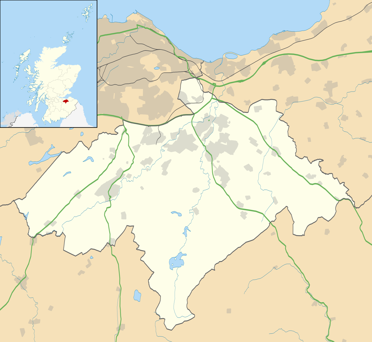
Blank map of Midlothian, UK with the following information shown:
Equirectangular map projection on WGS 84 datum, with N/S stretched 175% Geographic limits:
|
| تاریخ | |
| منبع |
|
| پدیدآور | Nilfanion, created using Ordnance Survey data |
| اجازهنامه (استفادهٔ مجدد از این پرونده) |
این پرونده با اجازهنامهٔ کریتیو کامانز Attribution-Share Alike 3.0 سازگار نشده منتشر شده است. انتساب: Contains Ordnance Survey data © Crown copyright and database right
|
| دیگر نسخهها | File:Midlothian UK blank map.svg - Blank map |
تاریخچهٔ پرونده
روی تاریخ/زمانها کلیک کنید تا نسخهٔ مربوط به آن هنگام را ببینید.
| تاریخ/زمان | بندانگشتی | ابعاد | کاربر | توضیح | |
|---|---|---|---|---|---|
| کنونی | ۲۶ سپتامبر ۲۰۱۰، ساعت ۲۰:۱۷ | | ۱٬۴۲۵ در ۱٬۳۱۳ (۷۹۶ کیلوبایت) | Nilfanion | {{Information |Description=Blank map of Midlothian, UK with the following information shown: *Administrative borders *Coastline, lakes and rivers *Roads and railways *Urban areas Equirectangular map projection on WGS 84 datum, with N/S s |
کاربرد پرونده
صفحههای زیر از این تصویر استفاده میکنند:
کاربرد سراسری پرونده
ویکیهای دیگر زیر از این پرونده استفاده میکنند:
- کاربرد در ar.wikipedia.org
- کاربرد در bg.wikipedia.org
- کاربرد در ceb.wikipedia.org
- کاربرد در de.wikipedia.org
- کاربرد در en.wikipedia.org
- Midlothian
- List of monastic houses in Scotland
- Dalkeith
- Rosslyn Chapel
- Bonnyrigg
- Penicuik
- Gorebridge
- Loanhead
- Roslin, Midlothian
- Hillend, Edinburgh
- Lasswade
- Mayfield, Midlothian
- Newtongrange
- Nine Mile Burn
- Polton
- Crichton Castle
- Rosewell, Midlothian
- Newbattle
- Danderhall
- Easthouses
- North Middleton, Midlothian
- Bilston, Midlothian
- Crichton, Midlothian
- Pathhead, Midlothian
- Auchendinny
- Borthwick
- Temple, Midlothian
- Fala, Midlothian
- Shawfair railway station
- Eskbank railway station
- Newtongrange railway station
- Gorebridge railway station
- Birkenside, Midlothian
- Arniston, Midlothian
- Shawfair
- Easter Howgate
- Dewartown
- Edgehead
- Carrington, Midlothian
- Silverburn, Midlothian
- Preston Hall, Midlothian
- Module:Location map/data/Scotland Midlothian/doc
- Midlothian Community Hospital
- Oxenfoord Castle
- Glencorse Barracks
- Hopefield, Bonnyrigg
نمایش استفادههای سراسری از این پرونده.