
پرونده:Map of Argentina Demis.png
اندازهٔ این پیشنمایش: ۳۱۷ × ۶۰۰ پیکسل. کیفیتهای دیگر: ۱۲۷ × ۲۴۰ پیکسل | ۲۵۴ × ۴۸۰ پیکسل | ۷۲۷ × ۱٬۳۷۵ پیکسل.
پروندهٔ اصلی (۷۲۷ × ۱٬۳۷۵ پیکسل، اندازهٔ پرونده: ۳۸۴ کیلوبایت، نوع MIME پرونده: image/png)
این پرونده در ویکیانبار موجود است. محتویات صفحهٔ توصیف آن در زیر نمایش داده میشود. |
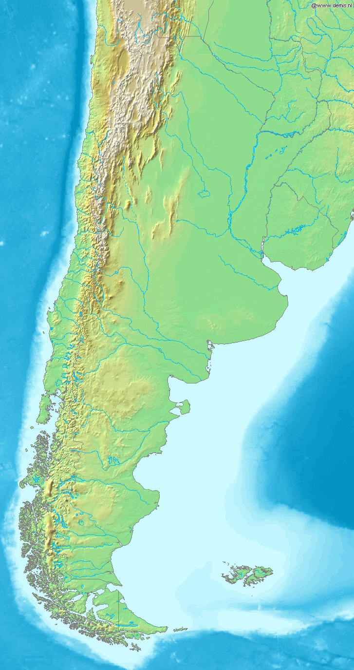
Map of Argentina
Bounding box West -77°, South -57°, East -52°, North -20°. Center at 38°30′00″S 64°30′00″W / 38.50000°S 64.50000°W.
This image is in the public domain because it came from the site https://www.demis.nl/products/web-map-server/examples/ and was released by the copyright holder. Permission is granted to copy, distribute and/or modify this map since it is based on free of copyright images from: www.demis.nl. See also approval email on de.wp and its clarification.
|
| This work has been released into the public domain by its copyright holder, www.demis.nl. This applies worldwide. در برخی از کشورها ممکن است به صورت قانونی این امکانپذیر نباشد؛ اگر چنین است: www.demis.nl به هر کسی اجازهٔ استفاده از این اثر برای هر مقصودی، بدون هیچگونه شرایطی، را میدهد تا وقتی که این شرایط توسط قانون مستلزم نشده باشند.
|
تاریخچهٔ پرونده
روی تاریخ/زمانها کلیک کنید تا نسخهٔ مربوط به آن هنگام را ببینید.
| تاریخ/زمان | بندانگشتی | ابعاد | کاربر | توضیح | |
|---|---|---|---|---|---|
| کنونی | ۲۰ دسامبر ۲۰۰۶، ساعت ۱۹:۴۶ | | ۷۲۷ در ۱٬۳۷۵ (۳۸۴ کیلوبایت) | Mats Halldin~commonswiki | Map of Argentina Bounding box West -77°, South -57°, East -52°, North -20°. Center at {{coor d|38.50000|S|64.50000|W|scale:22200000}}. {{demis-pd}} category:maps of Argentina |
کاربرد پرونده
صفحهٔ زیر از این تصویر استفاده میکند:
کاربرد سراسری پرونده
ویکیهای دیگر زیر از این پرونده استفاده میکنند:
- کاربرد در bs.wikipedia.org
- کاربرد در ca.wikipedia.org
- کاربرد در ckb.wikipedia.org
- کاربرد در cs.wikipedia.org
- کاربرد در en.wikipedia.org
- کاربرد در eo.wikipedia.org
- کاربرد در es.wikipedia.org
- کاربرد در es.wikinews.org
- کاربرد در fi.wikipedia.org
- کاربرد در fr.wikipedia.org
- کاربرد در gl.wikipedia.org
- کاربرد در id.wikipedia.org
- کاربرد در ilo.wikipedia.org
- کاربرد در is.wikipedia.org
- کاربرد در it.wikipedia.org
- کاربرد در ja.wikipedia.org
- کاربرد در ka.wikipedia.org
- کاربرد در la.wikipedia.org
- کاربرد در mk.wikipedia.org
- کاربرد در mr.wikipedia.org
- کاربرد در nl.wikipedia.org
- کاربرد در oc.wikipedia.org
- کاربرد در pa.wikipedia.org
- کاربرد در pnb.wikipedia.org
- کاربرد در pt.wikipedia.org
- کاربرد در ru.wikipedia.org
- کاربرد در sh.wikipedia.org
- کاربرد در sv.wikipedia.org
- کاربرد در uk.wikipedia.org
- کاربرد در ur.wikipedia.org
- کاربرد در vi.wikipedia.org
- کاربرد در xmf.wikipedia.org
- کاربرد در zh-min-nan.wikipedia.org
- کاربرد در zh.wikipedia.org