
پرونده:East Timor relief location map.jpg
اندازهٔ این پیشنمایش: ۸۰۰ × ۴۸۹ پیکسل. کیفیتهای دیگر: ۳۲۰ × ۱۹۶ پیکسل | ۶۴۰ × ۳۹۱ پیکسل | ۱٬۰۲۴ × ۶۲۶ پیکسل | ۱٬۲۸۰ × ۷۸۳ پیکسل | ۲٬۰۰۰ × ۱٬۲۲۳ پیکسل.
پروندهٔ اصلی (۲٬۰۰۰ × ۱٬۲۲۳ پیکسل، اندازهٔ پرونده: ۶۵۷ کیلوبایت، نوع MIME پرونده: image/jpeg)
این پرونده در ویکیانبار موجود است. محتویات صفحهٔ توصیف آن در زیر نمایش داده میشود. |
| توضیح |
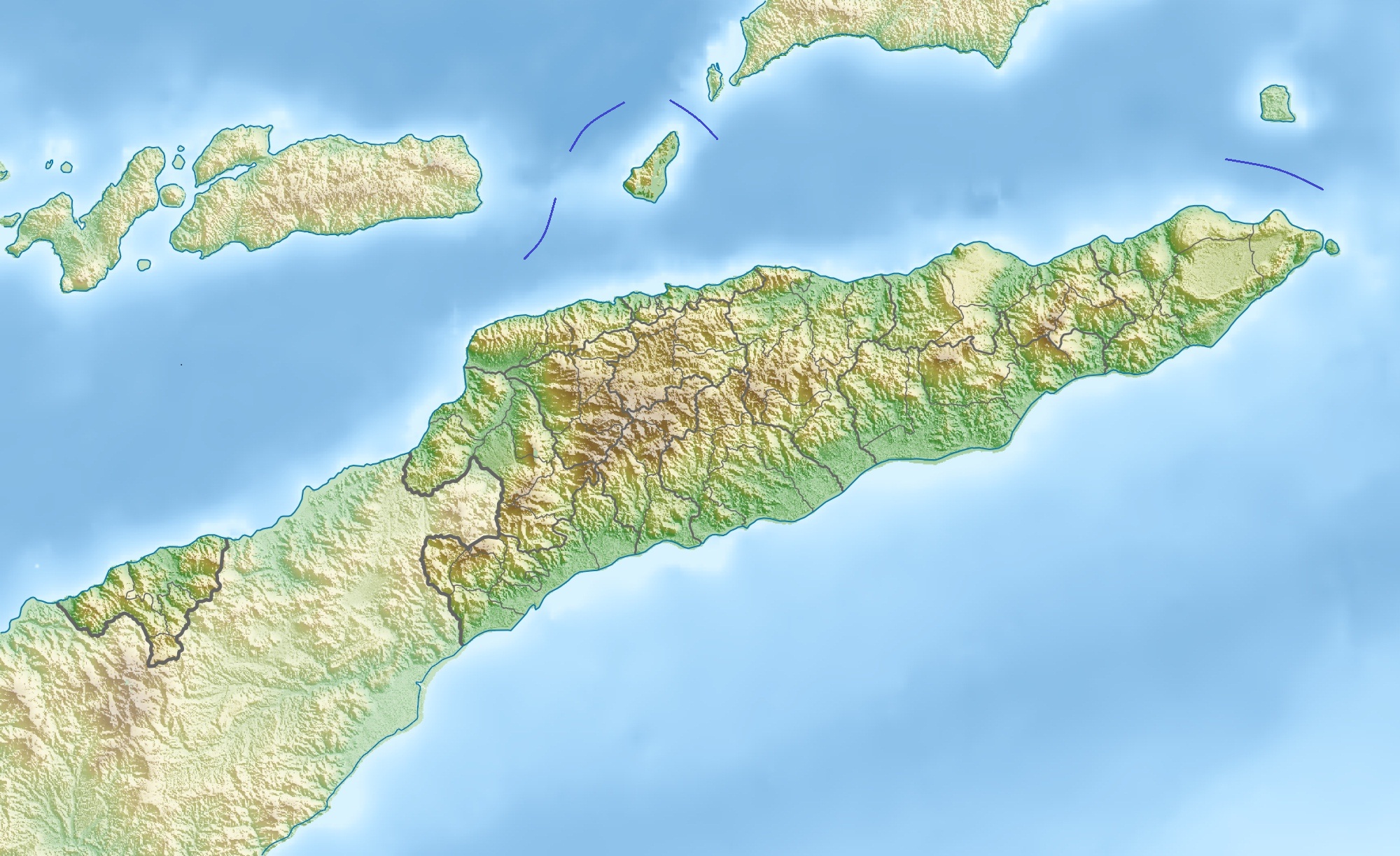
Deutsch: Physische Positionskarte von Osttimor, Grenzen von 2003–2015
Quadratische Plattkarte. Geographische Begrenzung der Karte:
English: Physical location map of East Timor
Equirectangular projection. Geographic limits of the map:
|
| تاریخ | |
| منبع | اثر شخصی, using map data from administrative map by NordNordWest. The relief was created from SRTM-3 relief data |
| پدیدآور | Carport |
| اجازهنامه (استفادهٔ مجدد از این پرونده) |
این پرونده با اجازهنامهٔ کریتیو کامانز Attribution 3.0 بومی نشده منتشر شده است.
|
| دیگر نسخهها |
آثار انشقاقی از این پرونده: Fuiloro Plateau.jpg
|

تاریخچهٔ پرونده
روی تاریخ/زمانها کلیک کنید تا نسخهٔ مربوط به آن هنگام را ببینید.
| تاریخ/زمان | بندانگشتی | ابعاد | کاربر | توضیح | |
|---|---|---|---|---|---|
| کنونی | ۱۷ نوامبر ۲۰۱۲، ساعت ۱۰:۳۶ | | ۲٬۰۰۰ در ۱٬۲۲۳ (۶۵۷ کیلوبایت) | Jaybear | Borders between islands marked in reference to the map "File:Vychodni Timor.png"; |
| ۲۸ مارس ۲۰۱۰، ساعت ۰۹:۲۶ |  | ۲٬۰۰۰ در ۱٬۲۲۳ (۷۴۸ کیلوبایت) | Carport | {{Information |Description={{de|Physische Positionskarte von {{w|Osttimor|3=de}}}} Quadratische Plattkarte. Geographische Begrenzung der Karte: * N: 7.8° S * S: 10.0° S * W: 123.9° O * O: 127.5° O {{en|Physical location map of {{w|East Timor}}}} Equir |
کاربرد پرونده
صفحههای زیر از این تصویر استفاده میکنند:
کاربرد سراسری پرونده
ویکیهای دیگر زیر از این پرونده استفاده میکنند:
- کاربرد در ar.wikipedia.org
- کاربرد در ast.wikipedia.org
- کاربرد در az.wikipedia.org
- کاربرد در ba.wikipedia.org
- کاربرد در bcl.wikipedia.org
- کاربرد در be.wikipedia.org
- کاربرد در bg.wikipedia.org
- کاربرد در bn.wikipedia.org
- کاربرد در bs.wikipedia.org
- کاربرد در ca.wikipedia.org
- کاربرد در ceb.wikipedia.org
- کاربرد در ce.wikipedia.org
- کاربرد در ckb.wikipedia.org
- کاربرد در cs.wikipedia.org
- کاربرد در da.wikipedia.org
- کاربرد در de.wikipedia.org
- Osttimor
- Jaco (Osttimor)
- Liste der Städte in Osttimor
- Geschichte Osttimors
- Tatamailau
- Matebian
- Benutzer:J. Patrick Fischer/Nützliches
- Cablac
- Vorlage Diskussion:Infobox Berg/Archiv/1
- Vorlage:Positionskarte Osttimor
- Kisar (Indonesien)
- Ira Lalaro
- Maubarasee
- Tasitolu
- Monte Mundo Perdido
- Leolaco
- Wikipedia:Kartenwerkstatt/Positionskarten/Asien
- Curi (Berg)
- Paitchau
- Benutzer:Carport/Galerie
- Legumau
- Straße von Ombai
- Straße von Wetar
نمایش استفادههای سراسری از این پرونده.