
پرونده:Downtown Appalachia, Virginia.jpg
پروندهٔ اصلی (۱٬۳۰۰ × ۱٬۱۴۸ پیکسل، اندازهٔ پرونده: ۹۴۷ کیلوبایت، نوع MIME پرونده: image/jpeg)
این پرونده در ویکیانبار موجود است. محتویات صفحهٔ توصیف آن در زیر نمایش داده میشود. |
| توضیح |
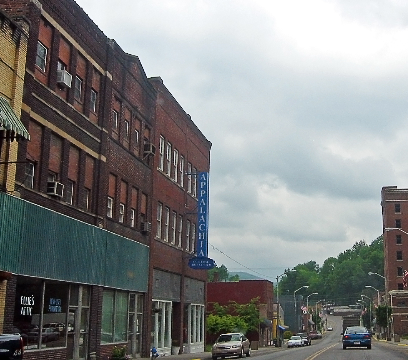
I'm going through photos from last year's trip to Appalachia, to supplement my writing up of the roadtrip tale on my blog. This is a rather poor snapshot, through the car window, of downtown Appalachia, a small town in southwestern Virginia. Since my roadtrip was to Appalachia, the region, I felt compelled to take the route to the Cumberland Gap that went through Appalachia, the town. I prefer small roads to large anyway, so I skipped the highway from Norton to Big Stone Gap, instead taking the smaller road to Appalachia, and then an even smaller road to Pennington Gap by way of Keokee. I'm still strangely pleased that there is a town called Appalachia. The region was very clearly a coal-mining area -- the only such area I saw during my trip to Appalachia (the region). Coal is important in the central and northern part of the Appalachians, and the town of Appalachia was about as far north as I got, so I saw very little coal, save in this part of Virginia. Here's a link to a map of Appalachia on MS Local Live. I hope it works. |
| تاریخ | |
| منبع | Appalachia, the town |
| پدیدآور | pfly from Pugetopolis |
| مختصات دوربین | | محل قرارگیری این نگاره و سایر نگارهها در: نقشهٔ شهری باز |
|---|
اجازهنامه
- شما اجازه دارید:
- برای به اشتراک گذاشتن – برای کپی، توزیع و انتقال اثر
- تلفیق کردن – برای انطباق اثر
- تحت شرایط زیر:
- انتساب – شما باید اعتبار مربوطه را به دست آورید، پیوندی به مجوز ارائه دهید و نشان دهید که آیا تغییرات ایجاد شدهاند یا خیر. شما ممکن است این کار را به هر روش منطقی انجام دهید، اما نه به هر شیوهای که پیشنهاد میکند که مجوزدهنده از شما یا استفادهتان حمایت کند.
- انتشار مشابه – اگر این اثر را تلفیق یا تبدیل میکنید، یا بر پایه آن اثری دیگر خلق میکنید، میبایست مشارکتهای خود را تحت مجوز یکسان یا مشابه با ا اصل آن توزیع کنید.
| این نگاره، که در اصل در فلیکر منتشر شدهاست، در December 15, 2008 توسط مدیر یا بازبین File Upload Bot (Magnus Manske)، که مجوز بالا را در آن تاریخ تأیید کرده، بازبینی شدهاست. |
تاریخچهٔ پرونده
روی تاریخ/زمانها کلیک کنید تا نسخهٔ مربوط به آن هنگام را ببینید.
| تاریخ/زمان | بندانگشتی | ابعاد | کاربر | توضیح | |
|---|---|---|---|---|---|
| کنونی | ۱۵ دسامبر ۲۰۰۸، ساعت ۰۲:۵۶ | | ۱٬۳۰۰ در ۱٬۱۴۸ (۹۴۷ کیلوبایت) | File Upload Bot (Magnus Manske) | {{Information |Description= I'm going through photos from last year's trip to Appalachia, to supplement my writing up of the roadtrip tale on [http://www.pfly.net/ my blog]. This is a rather poor snapshot, through the car window, of downtown Appalachia, |
کاربرد پرونده
صفحهٔ زیر از این تصویر استفاده میکند:
کاربرد سراسری پرونده
ویکیهای دیگر زیر از این پرونده استفاده میکنند:
- کاربرد در ar.wikipedia.org
- کاربرد در azb.wikipedia.org
- کاربرد در ceb.wikipedia.org
- کاربرد در ce.wikipedia.org
- کاربرد در cy.wikipedia.org
- کاربرد در es.wikipedia.org
- کاربرد در ht.wikipedia.org
- کاربرد در it.wikipedia.org
- کاربرد در lld.wikipedia.org
- کاربرد در pl.wikipedia.org
- کاربرد در pt.wikipedia.org
- کاربرد در ru.wikipedia.org
- کاربرد در sh.wikipedia.org
- کاربرد در sr.wikipedia.org
- کاربرد در tt.wikipedia.org
- کاربرد در uk.wikipedia.org
- کاربرد در uz.wikipedia.org
- کاربرد در www.wikidata.org
- کاربرد در zh-min-nan.wikipedia.org