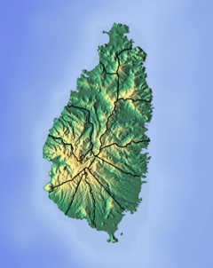
رودخانه بلک بی (سنت لوسیا)
| رودخانه بلک بی رودخانه ناسه نویر | |
|---|---|
| مکان | |
| کشور | سنت لوسیا |
| ربع | محله قلعه ویو |
| ویژگیهای ظاهری | |
| دهانه | دریای کارائیب |
• مختصات | ۱۳°۴۴′۱۱″شمالی ۶۰°۵۸′۵۱″غربی / ۱۳٫۷۳۶۴۱۶°شمالی ۶۰٫۹۸۰۷۲۱°غربی |
رودخانه بلک بی رودخانه ای در محله ویکس فورت کشور جزیره ای سنت لوسیا است. [۱] [۲]
منابع[ویرایش]
- ↑ "Black Bay River". National Geospatial Intelligence Agency. Retrieved August 3, 2021."Black Bay River". National Geospatial Intelligence Agency. Retrieved August 3, 2021.
- ↑ "Integrating the Management of Watersheds and Coastal Areas in St. Lucia". Water Resources Management Unit, Ministry of Agriculture, Forestry and Fisheries Government of St. Lucia. 2001. Retrieved August 3, 2021."Integrating the Management of Watersheds and Coastal Areas in St. Lucia". Water Resources Management Unit, Ministry of Agriculture, Forestry and Fisheries Government of St. Lucia. 2001. Retrieved August 3, 2021.

