
پرونده:Mexico map, MX-DIF.svg

حجم پیشنمایش PNG این SVG file:۸۰۰ × ۵۴۴ پیکسل کیفیتهای دیگر: ۳۲۰ × ۲۱۸ پیکسل | ۶۴۰ × ۴۳۵ پیکسل | ۱٬۰۲۴ × ۶۹۶ پیکسل | ۱٬۲۸۰ × ۸۷۰ پیکسل | ۲٬۵۶۰ × ۱٬۷۴۱ پیکسل | ۱٬۰۰۰ × ۶۸۰ پیکسل.
پروندهٔ اصلی (پروندهٔ اسویجی، با ابعاد ۱٬۰۰۰ × ۶۸۰ پیکسل، اندازهٔ پرونده: ۱۴۴ کیلوبایت)
این پرونده در ویکیانبار موجود است. محتویات صفحهٔ توصیف آن در زیر نمایش داده میشود. |
خلاصه
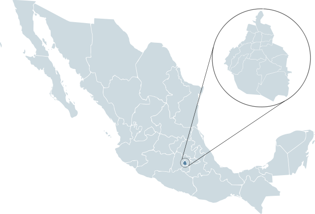
| توضیح | Locator map for Distrito Federal within Mexico. | ||
| تاریخ | |||
| منبع | Mexico template.svg by Lokal_Profil | ||
| پدیدآور | Lokal_Profil | ||
| اجازهنامه (استفادهٔ مجدد از این پرونده) |
Original image licensed under
|
||
| SVG genesis | کد مبدأ این پروندهٔ گرافیک برداری مقیاسپذیر، معتبر. این نقشهٔ جهان با Inkscape ساخته شده است. |
تاریخچهٔ پرونده
روی تاریخ/زمانها کلیک کنید تا نسخهٔ مربوط به آن هنگام را ببینید.
| تاریخ/زمان | بندانگشتی | ابعاد | کاربر | توضیح | |
|---|---|---|---|---|---|
| کنونی | ۱۳ فوریهٔ ۲۰۰۸، ساعت ۲۳:۴۷ | | ۱٬۰۰۰ در ۶۸۰ (۱۴۴ کیلوبایت) | El bart089 | {{Information |Description= |Source= |Date= |Author= |Permission= |other_versions= }} |
| ۱۹ نوامبر ۲۰۰۷، ساعت ۰۱:۲۶ |  | ۱٬۰۰۰ در ۶۸۰ (۱۲۳ کیلوبایت) | El bart089 | Based on the image made by Lokal Profil | |
| ۴ ژوئیهٔ ۲۰۰۷، ساعت ۱۷:۲۷ |  | ۱٬۰۰۰ در ۶۸۰ (۱۱۷ کیلوبایت) | Lokal Profil | {{Information |Description=Locator map for Distrito Federal within Mexico. |Source=Image:Mexico template.svg by Mario Fuente Cid <small>and Lokal_Profil</small> |Date=0 |
کاربرد پرونده
این پرونده در هیچ صفحهای به کار نرفته است.
کاربرد سراسری پرونده
ویکیهای دیگر زیر از این پرونده استفاده میکنند:
- کاربرد در af.wikipedia.org
- کاربرد در arz.wikipedia.org
- کاربرد در ay.wikipedia.org
- کاربرد در bs.wikipedia.org
- کاربرد در bxr.wikipedia.org
- کاربرد در de.wikipedia.org
- کاربرد در en.wikipedia.org
- کاربرد در es.wikipedia.org
- Organización Nacional Estudiantil de Fútbol Americano
- Liga Mayor 1945-46
- Torneo Verano 1997 (México)
- Liga Mayor 1946-47
- Liga Mayor 1947-48
- Primera División de México: México 1986
- Primera División de México PRODE 1985
- Torneo Apertura 2007 (México)
- Liga Mayor 1948-49
- Primera División de México 1992-93
- Primera División de México 1956-57
- Primera División de México 1958-59
- Primera División de México 1959-60
- Primera División de México 1960-61
- Primera División de México 1961-62
- Primera División de México 1969-70
- Liga Mexicana de Béisbol 1999
- Liga Mexicana de Béisbol 2000
- Liga Mexicana de Béisbol 2001
- Torneo Clausura 2008 (México)
- Torneo Apertura 2008 (México)
- Primera División de México 1991-92
- Categoría:Ciudad de México
- Torneo Clausura 2009 (México)
- Liga Mexicana de Béisbol 1925
- Liga Mexicana de Béisbol 1998
- Liga Mexicana de Béisbol 1997
- Liga Mexicana de Béisbol 1996
- Liga Mexicana de Béisbol 1994
- Liga Mexicana de Béisbol 1993
- Liga Mexicana de Béisbol 1995
- Torneo Apertura 2009 (México)
- Liga Mayor 1949-50
- Primera División de México 1950-51
نمایش استفادههای سراسری از این پرونده.