
پرونده:Devils Tower aerial.jpg
اندازهٔ این پیشنمایش: ۸۰۰ × ۴۲۳ پیکسل. کیفیتهای دیگر: ۳۲۰ × ۱۶۹ پیکسل | ۶۴۰ × ۳۳۸ پیکسل | ۱٬۰۲۴ × ۵۴۲ پیکسل | ۱٬۸۵۷ × ۹۸۲ پیکسل.
پروندهٔ اصلی (۱٬۸۵۷ × ۹۸۲ پیکسل، اندازهٔ پرونده: ۲٫۱۶ مگابایت، نوع MIME پرونده: image/jpeg)
این پرونده در ویکیانبار موجود است. محتویات صفحهٔ توصیف آن در زیر نمایش داده میشود. |
خلاصه
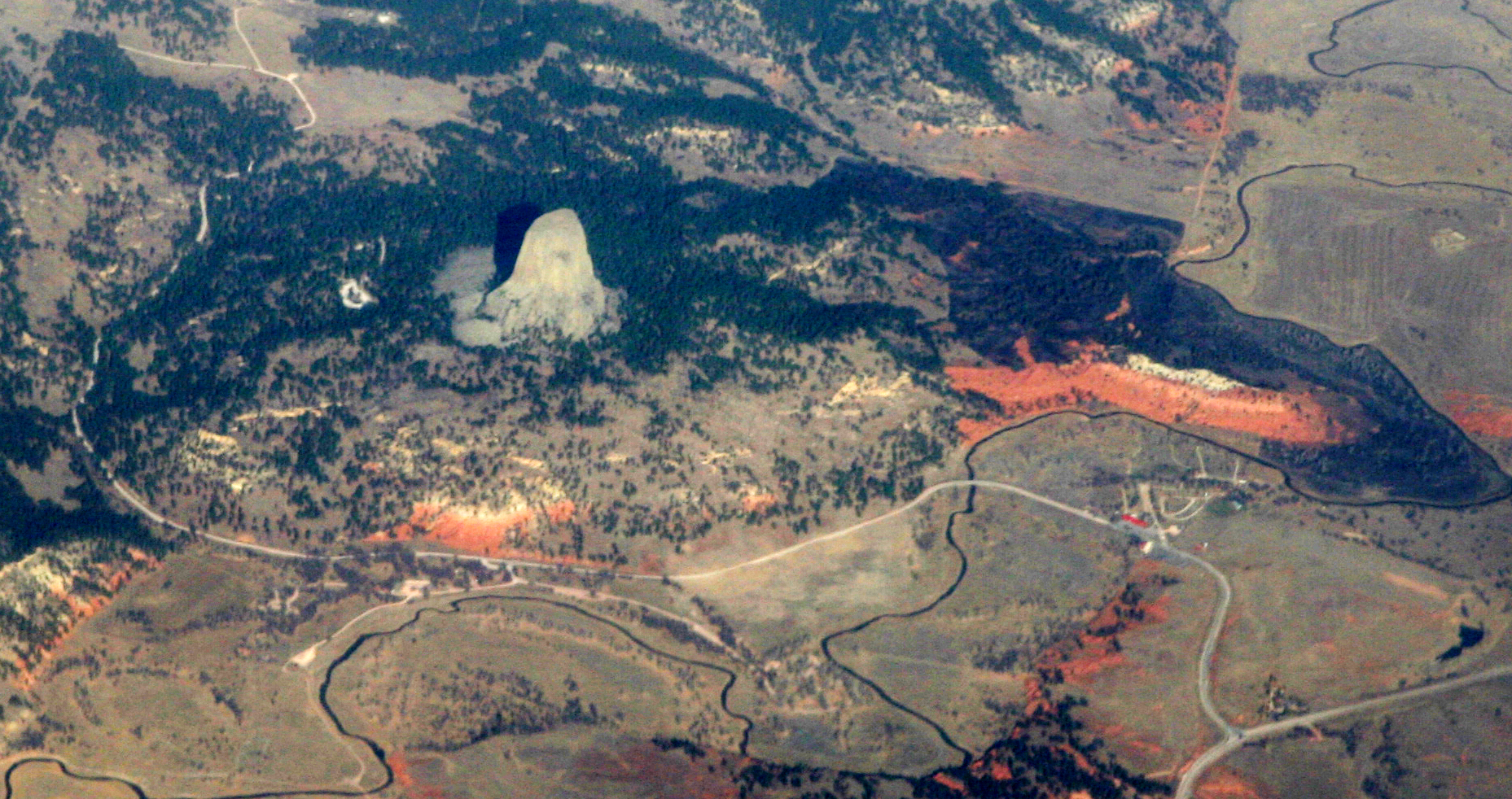
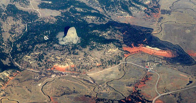
| توضیح | Devils Tower, a national monument in northeastern Wyoming, above the Belle Fourche River. Familiar to most folks as the setting for Close Encounters of the Third Kind, it was known by the Sioux as "Mato Tipila, which means “Bear Lodge”. In fact it is the neck of a long-extinct volcano. The circular shape of the land around it suggests the shape of the volcano itself. While Devils Tower is Tertriary in age (40-some million years old), the rock through which it intruded is a good bit older. The red rock is the Permian-Triassic Spearfish Formation, about a quarter-billion years old. Above it the white layer is of the more recent (Jurassic) Gypsum Spring Formation, which interests me mostly because, like so many other formations in Wyoming, it was named by J. David Love, the great Rocky Mountain Geologist who was the primary human subject of John McPhee's books Rising from the Plains, and Annals of the Former World. |
| تاریخ | |
| منبع |
|
| پدیدآور | Doc Searls from Santa Barbara, USA |
| مختصات دوربین | | محل قرارگیری این نگاره و سایر نگارهها در: نقشهٔ شهری باز |
|---|
اجازهنامه
این پرونده با اجازهنامهٔ کریتیو کامانز Attribution 2.0 عمومی منتشر شده است.
- شما اجازه دارید:
- برای به اشتراک گذاشتن – برای کپی، توزیع و انتقال اثر
- تلفیق کردن – برای انطباق اثر
- تحت شرایط زیر:
- انتساب – شما باید اعتبار مربوطه را به دست آورید، پیوندی به مجوز ارائه دهید و نشان دهید که آیا تغییرات ایجاد شدهاند یا خیر. شما ممکن است این کار را به هر روش منطقی انجام دهید، اما نه به هر شیوهای که پیشنهاد میکند که مجوزدهنده از شما یا استفادهتان حمایت کند.
| این نگاره، که در اصل در فلیکر منتشر شدهاست، در December 1, 2010 توسط مدیر یا بازبین File Upload Bot (Magnus Manske)، که مجوز بالا را در آن تاریخ تأیید کرده، بازبینی شدهاست. |
تاریخچهٔ پرونده
روی تاریخ/زمانها کلیک کنید تا نسخهٔ مربوط به آن هنگام را ببینید.
| تاریخ/زمان | بندانگشتی | ابعاد | کاربر | توضیح | |
|---|---|---|---|---|---|
| کنونی | ۱ دسامبر ۲۰۱۰، ساعت ۰۱:۴۶ | | ۱٬۸۵۷ در ۹۸۲ (۲٫۱۶ مگابایت) | File Upload Bot (Magnus Manske) | {{Information |Description=[http://en.wikipedia.org/wiki/Devils_Tower_National_Monument Devils Tower], a [http://www.nps.gov/deto/ national monument] in northeastern Wyoming, above the [http://en.wikipedia.org/wiki/Belle_Fourche_River Belle Fourche River] |
کاربرد پرونده
صفحهٔ زیر از این تصویر استفاده میکند:
کاربرد سراسری پرونده
ویکیهای دیگر زیر از این پرونده استفاده میکنند:
- کاربرد در an.wikipedia.org
- کاربرد در ceb.wikipedia.org
- کاربرد در en.wikipedia.org
- کاربرد در es.wikipedia.org
- کاربرد در fr.wikipedia.org
- کاربرد در ja.wikipedia.org
- کاربرد در lld.wikipedia.org
- کاربرد در sl.wikipedia.org
- کاربرد در www.wikidata.org