
پرونده:South Ayrshire UK location map.svg

حجم پیشنمایش PNG این SVG file:۴۶۳ × ۵۹۹ پیکسل کیفیتهای دیگر: ۱۸۵ × ۲۴۰ پیکسل | ۳۷۱ × ۴۸۰ پیکسل | ۵۹۴ × ۷۶۸ پیکسل | ۷۹۲ × ۱٬۰۲۴ پیکسل | ۱٬۵۸۳ × ۲٬۰۴۸ پیکسل | ۱٬۰۴۰ × ۱٬۳۴۵ پیکسل.
پروندهٔ اصلی (پروندهٔ اسویجی، با ابعاد ۱٬۰۴۰ × ۱٬۳۴۵ پیکسل، اندازهٔ پرونده: ۱٫۲۴ مگابایت)
این پرونده در ویکیانبار موجود است. محتویات صفحهٔ توصیف آن در زیر نمایش داده میشود. |
| توضیح |
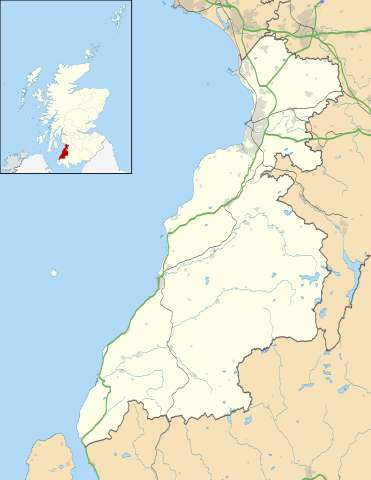
Blank map of South Ayrshire, UK with the following information shown:
Equirectangular map projection on WGS 84 datum, with N/S stretched 170% Geographic limits:
|
| تاریخ | |
| منبع |
|
| پدیدآور | Nilfanion, created using Ordnance Survey data |
| اجازهنامه (استفادهٔ مجدد از این پرونده) |
این پرونده با اجازهنامهٔ کریتیو کامانز Attribution-Share Alike 3.0 سازگار نشده منتشر شده است. انتساب: Contains Ordnance Survey data © Crown copyright and database right
|
| دیگر نسخهها | File:South Ayrshire UK blank map.svg - Blank map |
تاریخچهٔ پرونده
روی تاریخ/زمانها کلیک کنید تا نسخهٔ مربوط به آن هنگام را ببینید.
| تاریخ/زمان | بندانگشتی | ابعاد | کاربر | توضیح | |
|---|---|---|---|---|---|
| کنونی | ۲۶ سپتامبر ۲۰۱۰، ساعت ۲۰:۲۴ | | ۱٬۰۴۰ در ۱٬۳۴۵ (۱٫۲۴ مگابایت) | Nilfanion | {{Information |Description=Blank map of South Ayrshire, UK with the following information shown: *Administrative borders *Coastline, lakes and rivers *Roads and railways *Urban areas Equirectangular map projection on WGS 84 datum, wi |
کاربرد پرونده
صفحههای زیر از این تصویر استفاده میکنند:
کاربرد سراسری پرونده
ویکیهای دیگر زیر از این پرونده استفاده میکنند:
- کاربرد در ar.wikipedia.org
- کاربرد در bg.wikipedia.org
- کاربرد در ceb.wikipedia.org
- کاربرد در cy.wikipedia.org
- کاربرد در de.wikipedia.org
- کاربرد در en.wikipedia.org
- List of monastic houses in Scotland
- South Ayrshire
- Ayr
- Glasgow Prestwick Airport
- Girvan
- Troon
- Alloway
- Prestwick
- Royal Troon Golf Club
- Maybole
- Alloway Auld Kirk
- RAF Prestwick
- Kirkmichael, South Ayrshire
- Straiton
- Barr, Ayrshire
- Annbank
- Blairquhan Castle
- Ballantrae
- Somerset Park
- RAF Heathfield
- Dundonald, South Ayrshire
- Seafield, Ayr
- Kincaidston
- Doonfoot
- Tarbolton
- Belmont, Ayr
- Dunure
- Colmonell
- Mossblown
- Girvan Steeple
- University Hospital Ayr
- Old Dailly
- 2004 Open Championship
- Kirkoswald, South Ayrshire
- Barrhill, South Ayrshire
- Barassie
- RAF Dundonald
- Dailly
- 1997 Open Championship
- 1994 Open Championship
- 1989 Open Championship
- 1986 Open Championship
- 1982 Open Championship
نمایش استفادههای سراسری از این پرونده.