
پرونده:South Africa adm location map.svg

پروندهٔ اصلی (پروندهٔ اسویجی، با ابعاد ۲٬۰۳۱ × ۱٬۷۴۱ پیکسل، اندازهٔ پرونده: ۴۵۸ کیلوبایت)
این پرونده در ویکیانبار موجود است. محتویات صفحهٔ توصیف آن در زیر نمایش داده میشود. |
خلاصه
| توضیح |
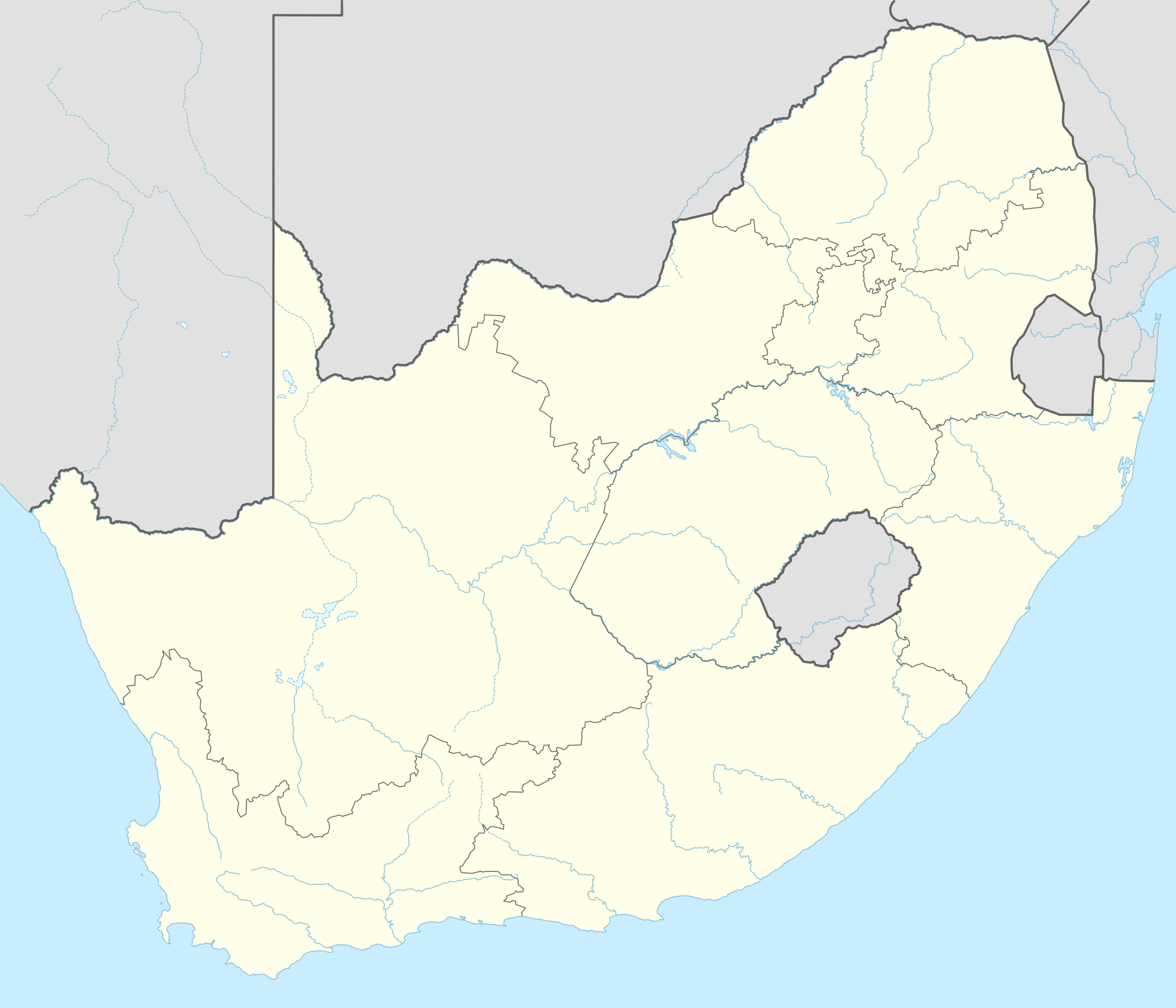
Deutsch: Positionskarte von Südafrika
English: Location map of South Africa
|
||||||||||||
| تاریخ | |||||||||||||
| منبع |
Own work using:
|
||||||||||||
| پدیدآور | NordNordWest | ||||||||||||

|
این نقشه در Kartenwerkstatt "(آزمایشگاه نقشه)" آلمانی ساخته یا بهبود یافته است. همچنین می توانید نقشه هایی را برای بهبود پیشنهاد دهید.
|
اجازهنامه
Usage of this file with:

explanatory notes: Legally binding is only the full legalcode. For a free usage I recommend to respect the following licence conditions:
1. Provide my name as given above: NordNordWest,
2. a copy of, or the URI for, the applicable license: https://creativecommons.org/licenses/by-sa/3.0/de/legalcode,
3. the title of the work,
4. in the case of an adaptation, a credit identifying the use of the work in the adaptation.
This license and the rights granted hereunder will terminate automatically upon any breach by you of the terms of this license. Any of the above conditions can be waived if you get permission from the copyright holder. If you have questions or wish differing conditions, please contact me through nnwest or my discussion page ![]() t-online.de
t-online.de
- شما اجازه دارید:
- برای به اشتراک گذاشتن – برای کپی، توزیع و انتقال اثر
- تلفیق کردن – برای انطباق اثر
- تحت شرایط زیر:
- انتساب – شما باید اعتبار مربوطه را به دست آورید، پیوندی به مجوز ارائه دهید و نشان دهید که آیا تغییرات ایجاد شدهاند یا خیر. شما ممکن است این کار را به هر روش منطقی انجام دهید، اما نه به هر شیوهای که پیشنهاد میکند که مجوزدهنده از شما یا استفادهتان حمایت کند.
- انتشار مشابه – اگر این اثر را تلفیق یا تبدیل میکنید، یا بر پایه آن اثری دیگر خلق میکنید، میبایست مشارکتهای خود را تحت مجوز یکسان یا مشابه با ا اصل آن توزیع کنید.

تاریخچهٔ پرونده
روی تاریخ/زمانها کلیک کنید تا نسخهٔ مربوط به آن هنگام را ببینید.
| تاریخ/زمان | بندانگشتی | ابعاد | کاربر | توضیح | |
|---|---|---|---|---|---|
| کنونی | ۲ فوریهٔ ۲۰۱۵، ساعت ۱۸:۱۷ | | ۲٬۰۳۱ در ۱٬۷۴۱ (۴۵۸ کیلوبایت) | NordNordWest | == {{int:filedesc}} == {{Information |Description= {{de|1=Positionskarte von Südafrika}} {{en|1=Location map of South Africa}} {{Location map series N |stretching=110 |top=-21.8 |bottom=-35.2 |left=16.0 |right=33.2 }} |Source={{Own using}} * United St... |
کاربرد پرونده
صفحههای زیر از این تصویر استفاده میکنند:
- آمستردام، امپومالانگا
- اجنیز
- الدیز، لیمپوپو
- الما، لیمپوپو
- الکساندر بای، کیپ شمالی
- الیمانسدریفت
- امالیا، شمال غربی
- اماندلبالت
- امرسفورت، امپومالانگا
- انردیل
- اوملانگا
- بدفوردویو
- برئا
- برج میکلانژ
- تصادف قطار در هننمان-کرونستاد
- جام ملتهای آفریقا ۱۹۹۶
- جام ملتهای آفریقا ۲۰۱۳
- جام کنفدراسیونها ۲۰۰۹
- جزیره روبن
- خلیج پلتنبرگ
- دابسونویل
- دهانه موروکونگ
- دورنفونتین
- دولستروم
- ذخیرگاه طبیعت اوملانگا
- راستنبرگ
- ردهدورپ
- روزتنویل
- ریوونیا
- زمینلرزه ۱۹۶۹ آفریقای جنوبی
- سالت راک
- سان سیتی
- سندتون
- فرنوکپان
- فرودگاه الکساندر بی
- فرودگاه اگنیس
- فرودگاه ایست لندن
- فرودگاه بلومفونتن
- فرودگاه بیتلحم
- فرودگاه بینالمللی دوربان
- فرودگاه بینالمللی پرائیا
- فرودگاه راند
- فرودگاه شهری جورج بست بلفاست
- فرودگاه مارگیت
- فرودگاه هندریک فان اک
- فرودگاه هیرشیما–نیشی
- فرودگاه ویرجینیا
- فرودگاه ک. د. مانتانزیما
- فرودگاه گرند سنترال
- فرودگاه یوهان پینار
- فیر ویو
- فیرلند
- میدرند
- وایلدرنس، کیپ غربی
- وردنبورگ
- پارکتاون
- پایگاه نیروی هوایی اووربرگ
- پایگاه نیروی هوایی بلومسپرویت
- پایگاه نیروی هوایی دربن
- پایگاه نیروی هوایی سوارتکوپ
- پایگاه نیروی هوایی لانگبانوگ
- پایگاه نیروی هوایی ماخادو
- پایگاه نیروی هوایی هودسپرویت
- پایگاه نیروی هوایی واترکلوف
- پایگاه نیروی هوایی یسترپلات
- پایگاه هوایی ارتشی ایلیزابت
- پرتوریا
- پورت الیزابت
- پولوکوین
- پیکتبرگ
- ژوهانسبورگ
- ژپستاون
- کرونستاد
- کروگرزدورپ
- کنیلورت
- کیمبرلی (آفریقای جنوبی)
- کیپتاون
- گهواره نوع بشر
کاربرد سراسری پرونده
ویکیهای دیگر زیر از این پرونده استفاده میکنند:
- کاربرد در ab.wikipedia.org
- کاربرد در af.wikipedia.org
- Barberton (dubbelsinnig)
- Vredefortkoepel
- Wellington
- FIFA Sokker-Wêreldbekertoernooi in 2010
- Fietas
- Hatfield, Pretoria
- Olifantsrivier
- Langeberg
- Wêrelderfenisgebiede in Suid-Afrika
- Adelaide
- Springbokke
- Gebruiker:SpesBona
- Rugbywêreldbeker 1995
- Aberdeen (dubbelsinnig)
- Emmaus
- Gebruiker:BenBezuidenhout/Sandput
- FIFA Sokker-Konfederasiebeker in 2009
- Sebokeng
- Augrabieswaterval
- Moordenaarskaroo
- Wildekus
- Kliprivier
- Tsitsawaterval
- Premiersokkerliga
- Swartrivier (dubbelsinnig)
- Proteas
- Buffelsrivier
- Mooirivier (dubbelsinnig)
- Wilgerivier
- Afrikanasiesbeker 2013
- Pondoland
- Warrenton
- Boipatong
- UMgungundlovu
- Boesmansrivier (dubbelsinnig)
- Boesmanspruit (Watervalrivier, Mpumalanga)
- Ngqura-hawe
- Mountain View
- Suid-Afrikaanse Lugmagmuseum
- Rugby-uitdaagreeks
- Vier-en-twintig Riviere
- Verenigde Rugbykampioenskap
- Elandsrivier (meersinnig)
- Afrikanasiesbeker 1996
- Krieketwêreldbeker 2003
- Spitskopdam
- Blinkwaterspruit
- Heuningspruit
نمایش استفادههای سراسری از این پرونده.