
پرونده:Malawi adm location map.svg

پروندهٔ اصلی (پروندهٔ اسویجی، با ابعاد ۹۴۵ × ۱٬۹۳۷ پیکسل، اندازهٔ پرونده: ۱۵۹ کیلوبایت)
این پرونده در ویکیانبار موجود است. محتویات صفحهٔ توصیف آن در زیر نمایش داده میشود. |
خلاصه
| توضیح |
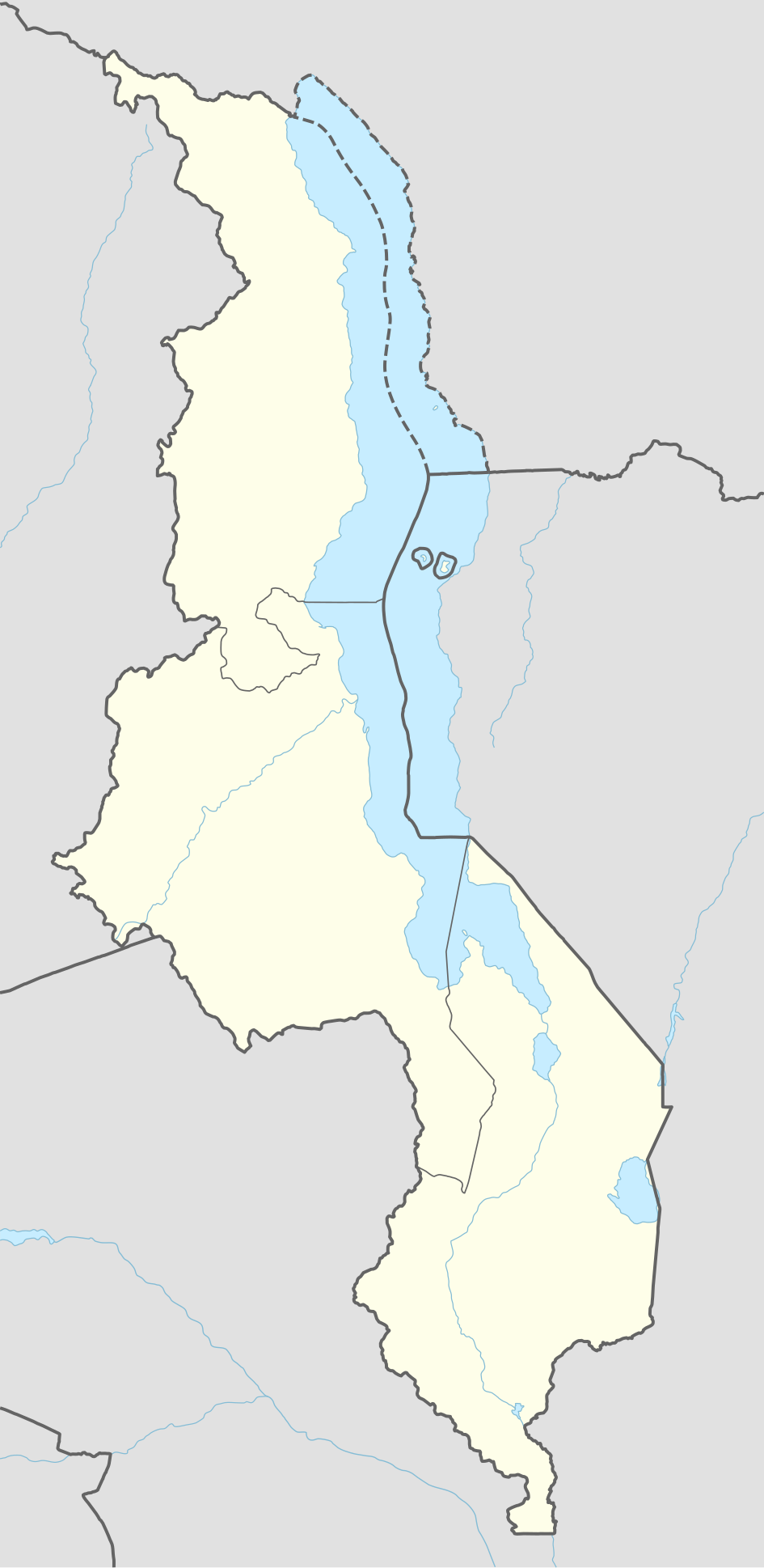
Deutsch: Positionskarte von Malawi
English: Location map of Malawi
|
||||||||||||
| تاریخ | |||||||||||||
| منبع |
Own work using:
|
||||||||||||
| پدیدآور | NordNordWest | ||||||||||||

|
این نقشه در Kartenwerkstatt "(آزمایشگاه نقشه)" آلمانی ساخته یا بهبود یافته است. همچنین می توانید نقشه هایی را برای بهبود پیشنهاد دهید.
|
اجازهنامه
Usage of this file with:

explanatory notes: Legally binding is only the full legalcode. For a free usage I recommend to respect the following licence conditions:
1. Provide my name as given above: NordNordWest,
2. a copy of, or the URI for, the applicable license: https://creativecommons.org/licenses/by-sa/3.0/de/legalcode,
3. the title of the work,
4. in the case of an adaptation, a credit identifying the use of the work in the adaptation.
This license and the rights granted hereunder will terminate automatically upon any breach by you of the terms of this license. Any of the above conditions can be waived if you get permission from the copyright holder. If you have questions or wish differing conditions, please contact me through nnwest or my discussion page ![]() t-online.de
t-online.de
- شما اجازه دارید:
- برای به اشتراک گذاشتن – برای کپی، توزیع و انتقال اثر
- تلفیق کردن – برای انطباق اثر
- تحت شرایط زیر:
- انتساب – شما باید اعتبار مربوطه را به دست آورید، پیوندی به مجوز ارائه دهید و نشان دهید که آیا تغییرات ایجاد شدهاند یا خیر. شما ممکن است این کار را به هر روش منطقی انجام دهید، اما نه به هر شیوهای که پیشنهاد میکند که مجوزدهنده از شما یا استفادهتان حمایت کند.
- انتشار مشابه – اگر این اثر را تلفیق یا تبدیل میکنید، یا بر پایه آن اثری دیگر خلق میکنید، میبایست مشارکتهای خود را تحت مجوز یکسان یا مشابه با ا اصل آن توزیع کنید.

تاریخچهٔ پرونده
روی تاریخ/زمانها کلیک کنید تا نسخهٔ مربوط به آن هنگام را ببینید.
| تاریخ/زمان | بندانگشتی | ابعاد | کاربر | توضیح | |
|---|---|---|---|---|---|
| کنونی | ۲۸ دسامبر ۲۰۱۹، ساعت ۱۴:۳۵ | | ۹۴۵ در ۱٬۹۳۷ (۱۵۹ کیلوبایت) | NordNordWest | corr |
| ۳ فوریهٔ ۲۰۱۵، ساعت ۱۸:۲۲ |  | ۹۴۵ در ۱٬۹۳۷ (۱۵۸ کیلوبایت) | NordNordWest | == {{int:filedesc}} == {{Information |Description= {{de|1=Positionskarte von Malawi}} {{en|1=Location map of Malawi}} {{Location map series N |stretching=100 |top=-9.1 |bottom=-17.3 |left=32.4 |right=36.4 }} |Source={{Own using}} * United States Nation... |
کاربرد پرونده
صفحههای زیر از این تصویر استفاده میکنند:
- آرون، مالاوی
- انگولودی
- انگکونگولونی
- اکوندنی
- بالاکا، مالاوی
- بانداوه
- بانگوه
- بلانتایر، مالاوی
- توندوه
- تیولو
- ددزا
- دریاچه چیلوا
- دووا
- رامفی
- زامبارا
- زمینلرزه ۱۹۸۹ مالاوی
- زمینلرزههای ۲۰۰۹ کارونگا
- زومبا، مالاوی
- سالوی (مالاوی)
- سالیما (شهر)
- فرودگاه زومبا
- فرودگاه کارونگا
- لوچنزا
- لیلونگوه
- لیمبه، مالاوی
- لیوونده
- لیوینگستونیا
- لیکوما (مالاوی)
- مارکا (مالاوی)
- مالیندی (مالاوی)
- مانگوچی
- ماکوتا (مالاوی)
- مبالوکو
- متنجه
- مزمبلا
- مزوزو
- مزیمبا
- موانزا (مالاوی)
- مولانجه
- مونکی بای
- مپونلا
- مپینگوه
- مچینجی
- مکانگاوی
- ناتنجه
- نامیتته
- نایوچی
- نتچئو
- نتچیسی
- نخوتاکوتا
- نخوما
- نسانجه
- نکهاتا بای
- پهالموبه
- چاستا
- چیتیپا
- چیرینگا
- چیلومبا
- چین تچه
- چیپوکا
- کارونگا
- کاسونگو
- کاپتا
- کیپ ماکلئار
کاربرد سراسری پرونده
ویکیهای دیگر زیر از این پرونده استفاده میکنند:
- کاربرد در af.wikipedia.org
- کاربرد در an.wikipedia.org
- کاربرد در ast.wikipedia.org
- کاربرد در azb.wikipedia.org
نمایش استفادههای سراسری از این پرونده.