
پرونده:Denmark adm location map.svg

پروندهٔ اصلی (پروندهٔ اسویجی، با ابعاد ۱٬۸۳۶ × ۱٬۴۷۸ پیکسل، اندازهٔ پرونده: ۴۷۹ کیلوبایت)
این پرونده در ویکیانبار موجود است. محتویات صفحهٔ توصیف آن در زیر نمایش داده میشود. |
خلاصه
| توضیح |
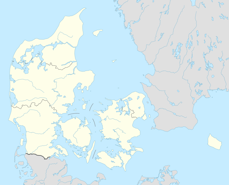
Deutsch: Positionskarte von Dänemark
English: Location map of Denmark
|
||||||||||||
| تاریخ | |||||||||||||
| منبع |
Own work using:
|
||||||||||||
| پدیدآور | NordNordWest | ||||||||||||
| SVG genesis | کد مبدأ این پروندهٔ گرافیک برداری مقیاسپذیر، معتبر. این نقشهٔ جهان با Adobe Illustrator ساخته شده است
|
||||||||||||

اجازهنامه
Usage of this file with:

explanatory notes: Legally binding is only the full legalcode. For a free usage I recommend to respect the following licence conditions:
1. Provide my name as given above: NordNordWest,
2. a copy of, or the URI for, the applicable license: https://creativecommons.org/licenses/by-sa/3.0/de/legalcode,
3. the title of the work,
4. in the case of an adaptation, a credit identifying the use of the work in the adaptation.
This license and the rights granted hereunder will terminate automatically upon any breach by you of the terms of this license. Any of the above conditions can be waived if you get permission from the copyright holder. If you have questions or wish differing conditions, please contact me through nnwest or my discussion page ![]() t-online.de
t-online.de
- شما اجازه دارید:
- برای به اشتراک گذاشتن – برای کپی، توزیع و انتقال اثر
- تلفیق کردن – برای انطباق اثر
- تحت شرایط زیر:
- انتساب – شما باید اعتبار مربوطه را به دست آورید، پیوندی به مجوز ارائه دهید و نشان دهید که آیا تغییرات ایجاد شدهاند یا خیر. شما ممکن است این کار را به هر روش منطقی انجام دهید، اما نه به هر شیوهای که پیشنهاد میکند که مجوزدهنده از شما یا استفادهتان حمایت کند.
- انتشار مشابه – اگر این اثر را تلفیق یا تبدیل میکنید، یا بر پایه آن اثری دیگر خلق میکنید، میبایست مشارکتهای خود را تحت مجوز یکسان یا مشابه با ا اصل آن توزیع کنید.

تاریخچهٔ پرونده
روی تاریخ/زمانها کلیک کنید تا نسخهٔ مربوط به آن هنگام را ببینید.
| تاریخ/زمان | بندانگشتی | ابعاد | کاربر | توضیح | |
|---|---|---|---|---|---|
| کنونی | ۳۱ مارس ۲۰۱۵، ساعت ۱۸:۴۲ | | ۱٬۸۳۶ در ۱٬۴۷۸ (۴۷۹ کیلوبایت) | NordNordWest | == {{int:filedesc}} == {{Information |Description= {{de|1=Positionskarte von Dänemark}} {{en|1=Location map of Denmark}} {{Location map series N |stretching=170 |top=57.9 |bottom=54.3 |left=7.8 |right=15.4 }} |Source={{Own using}} * United States Nati... |
کاربرد پرونده
بیش از ۱۰۰ صفحه از این پرونده استفاده میکنند. فهرست زیر تنها اولین ۱۰۰ استفاده از این پرونده را نشان میدهد. فهرست کامل نیز موجود است.
- آرئس
- آرهوس
- آستروپ، ماریاگرفورد
- آسنتافت
- آلبور
- آلشتروپ
- اسبیرگ
- استرور
- استهولم
- استور ماگلبی
- استور هدینگ
- استورورده
- استورینگ
- اسلنگراپ
- اسکئو
- اسکاگن
- اسکندربرگ
- اسکوینگ
- الکن، دانمارک
- اودر، یوتلاند
- اورلاد
- اومل
- ایکست
- بلواسترود
- بیرکرید
- بیلوند، دانمارک
- تاستروپ
- تندر، دانمارک
- تیستد
- تیون
- راندرس
- روندی
- رونه
- ریبه
- رینگستد
- سائبی
- سوبورگ، شهرداری گریبسکو
- سورئو
- سوندبورگ
- سوندستراپ
- سوپر لیگ فوتبال دانمارک
- سیلکبورگ
- فارسو
- فردریکسورک
- فردریکسوند
- فردریکشاوون
- فردنسبورگ
- فرودگاه آلبورگ
- فرودگاه صحرایی اشوت
- فرودگاه کپنهاگ
- قهرمانی هندبال مردان جهان ۲۰۱۹
- لیزلی
- ماریاژر
- مالو، دانمارک
- ماگلبی، استونز
- مجموعه داوود
- ملبی، شهر هلسنس
- ناستوود
- ناکسکف
- نایرد
- نور گالتن
- نورسوندبی
- نیمول، کمون الرود
- نیکوبینگ
- هادرسلف
- هادستن
- هادسوند
- هجرینگ
- هده هوسن
- هرنینگ
- هلسینگور
- هوبرو
- هورسنس
- هورسهولم
- هوسترکوب
- هولباک
- هولستد
- هولشتبرو
- هوملبک
- هونتسه
- هیرتشال
- هیلبک
- هیلرود
- وایله
- وجبی، شهرداری گریبسکو
- وجبیسترند
- وجرس
- ورلوسه
- ووردبورگ
- ویبورگ، دانمارک
- ویرکلوند
- ویندینگ، شهر روسکلید
- ژیلینگ
- کلیسای جامع سنت کانوت
- کویه، دانمارک
- گاندسوماگل
- گانلوز
- گروستن
- گرینستد
- گور، دانمارک
پیوندهای دیگر به این پرونده را ببینید.
کاربرد سراسری پرونده
ویکیهای دیگر زیر از این پرونده استفاده میکنند:
- کاربرد در af.wikipedia.org
- Tise
- Tødsø
- Tolne
- Tornby
- Tranum
- Tversted
- Tylstrup
- Uggerby
- Uggerhalne
- Ullits
- Ulsted
- Vadum
- Valsgård
- Valsted
- Vårst
- Thisted
- Thorshøj
- Guldbæk
- Gudumholm
- Gøttrup
- Godthåb (Aalborg)
- Gjøl
- Gistrup
- Gedsted
- Gandrup
- Gærum
- Tårs (Hjørring)
- Terndrup
- Vrå
- Vodskov
- Ydby
- Vodstrup
- Voerså
- Vognsild
- Vrensted
- Visse (Denemarke)
- Visborg
- Vindblæs
- Vilsund Vest
- Vilsted
- Vils
- Vidstrup
- Vestervig
- Vesterø Havn
- Vester Torup
- Vester Hornum
- Vester Hjermitslev
- Vester Hassing
- Vestbjerg
- Vesløs
نمایش استفادههای سراسری از این پرونده.