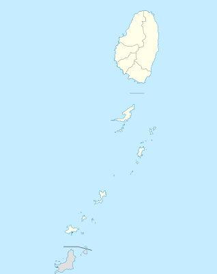
الگو:Location map Saint Vincent and the Grenadines
| نام | Saint Vincent and the Grenadines | |||
|---|---|---|---|---|
| مختصات مرزها | ||||
| 13.42 | ||||
| -61.7 | →↕← | -60.9 | ||
| 12.44 | ||||
| وسط نقشه | ۱۲°۵۶′شمالی ۶۱°۱۸′غربی / ۱۲٫۹۳°شمالی ۶۱٫۳°غربی | |||
| تصویر | Saint Vincent and the Grenadines location map.svg
| |||

| ||||
| تصویر۱ | Saint Vincent and the Grenadines relief location map.jpg
| |||

| ||||
